

12 Best Hikes in Fuerteventura (Guided & Independent Options!)
Fuerteventura is the second-largest island in the Canary Islands archipelago, best known for being extremely windy and perfect for water sports.
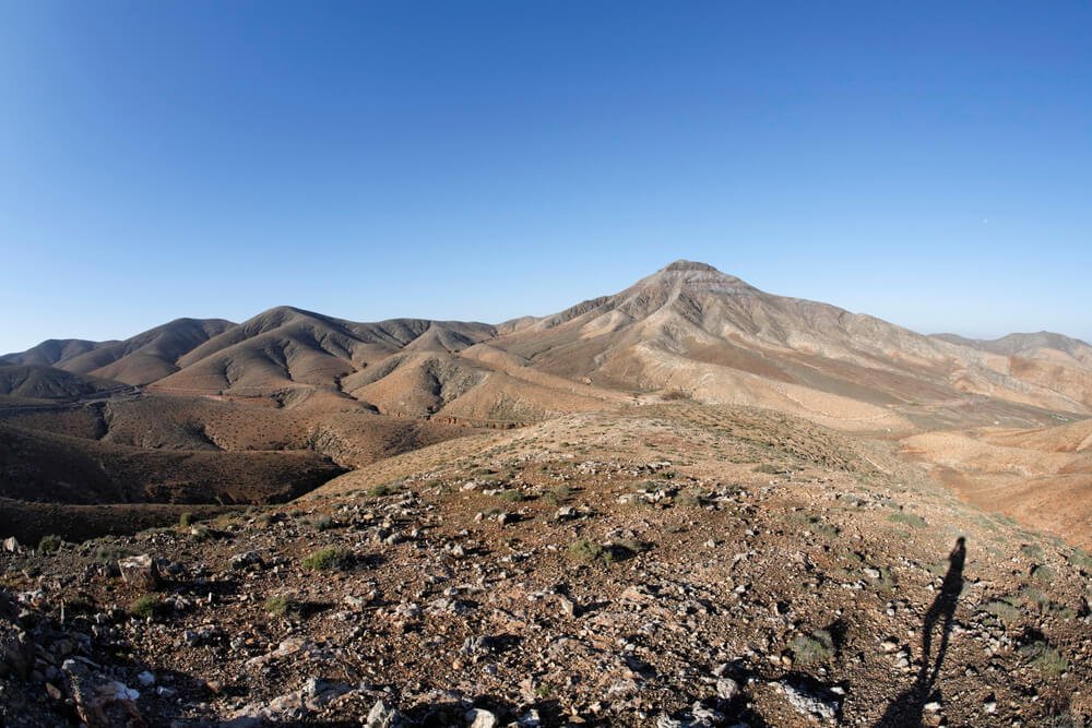
The island doesn’t have particularly high peaks, but its beautiful volcanic landscape makes it an ideal spot for easy and moderate hikes.
Unlike some of the other islands, such as Tenerife or Gran Canaria, you shouldn’t expect a great variety of hiking trails, as the terrain is a little more flat.
However, each part of the island has its unique features making it well worth your time to visit.
The central area features beautiful, reddish hills and valleys, the north has iconic calderas, and the south has the highest peaks and most beautiful beaches.
I spent two wonderful weeks in Fuerteventura in 2022, including a few days in a remote area near Tindaya.
During my stay, I got to explore several hiking trails all over the island, and each was unique!
From sand dunes to volcanic calderas and beautiful coastal trails, the island has a lot to offer!
The following guide contains some of the best hiking trails in Fuerteventura, including guided tours and independent day hikes.
I included as wide a variety as possible of trails and difficulty levels so you can experience different landscapes, challenges, and views — no matter how confident of a hiker you are!
Should I Do a Guided or Independent Hike in Fuerteventura?
The choice between guided and independent hikes in Fuerteventura comes down to two main factors: whether you have a car and whether you prefer hiking alone or in a group.
Unlike other islands like Tenerife and Lanzarote, Fuerteventura doesn’t have hiking trails that require a permit or a guide.
The biggest obstacle to some hiking areas in Fuerteventura is that they’re remote and inaccessible.
You can’t get there by bus, and in some cases, you may not even be able to drive a rental car to get there!
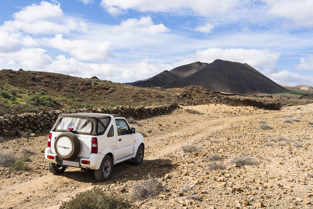
The only way to reach these remote areas is by 4×4 or guided tour.
The second thing to consider is if you want to meet new people and hike with a group.
Guided tours are great for socializing and learning more about the areas you explore.
They usually have expert guides that won’t just show you the way but also share their knowledge about the history and geology of the island, which is generally super fascinating — as most volcanic islands are!
So, before deciding whether you should hike alone or join a guided tour, start by researching the area you want to explore.
Each trail listed in this guide contains information on how to reach the starting point so you can have the hiking adventure of your dreams!
Best Guided Hikes in Fuerteventura
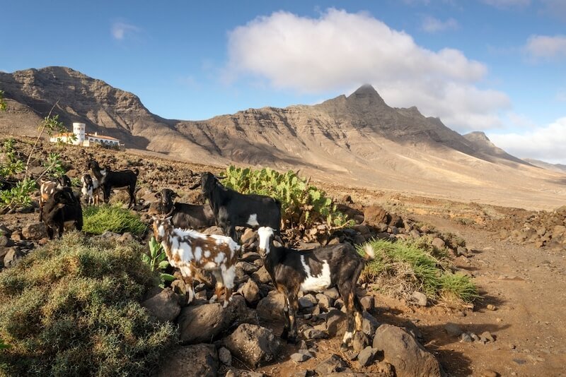
Hiking Tour with Goats in El Cardon – Book Here
What better way to hike in Fuerteventura than to hike with nature’s most silly companion — the goat?
The native Majorero goats of the Canary Islands are one of Fuerteventura’s most distinctive features!
You can see these goats in many places across the island, but this hiking tour in El Cardon is the perfect chance to hike and get closer to these charming animals.
The hike takes place around the mountain of El Cardon in the south of Fuerteventura.
The whole activity lasts five hours and includes pick-up and drop-off from hotels in the south, a tour guide, and best of all, feeding the feisty little goats!
Joining this tour is the perfect opportunity to explore a lesser-known area of the island that you can’t reach by public transportation.
Plus, you can sample local goat cheese as part of a light lunch!
It’s also great for intermediate hikers who want a little companionship on the hike.
The hike is moderately challenging and around 8 kilometers (5 miles) long — nothing too crazy, but definitely a workout!
Cofete Hiking Tour & Picnic – Book Here
This Cofete full-day guided tour in the south of Fuerteventura allows you to explore another area many tourists won’t reach: Parque Natural de Jandia.
Parts of this national park are also not good for rental cars because the roads are unpaved.
With rental car rules, that means that if you drive on them, your entire rental insurance can get invalidated (meaning even if you damage the car elsewhere, the GPS will show you’ve driven these roads and the company will blame it on the off-road driving).
Covering the southernmost tip of the island, the natural park is one of the most remote and unspoiled areas in Fuerteventura, with lots of hiking trails offering stunning coastal views.
This guided hiking tour of Cofete and Jandia includes two moderate hikes in Punta Pesebre and Cofete.
You’ll spend the first half of the day exploring around the southwestern end of Fuerteventura, hiking and checking out stunning beaches like Playa de Ojos.
You’ll also see the gorgeous Punta de Jandia lighthouse and stop for lunch in El Puertito.
In the afternoon, you’ll explore the area of Cofete, where you’ll see the Winter House, admire sweeping coastal views, and hike through stunning volcanic landscapes. Lastly, you’ll check out the iconic Roque del Moro.
The guided tour lasts most of the day, clocking in at roughly 9 hours.
The whole experience includes hotel pick-up and drop-off from available locations in southern Fuerteventura, transportation, a licensed guide, insurance, and a few snacks.
Be sure to book it in advance, especially in summer — this one is rather popular because you can’t bring rental cars into Cofete without invalidating your insurance, since it’s considered ‘off road’ driving!
Caldera de Arrabales Hike – Book Here
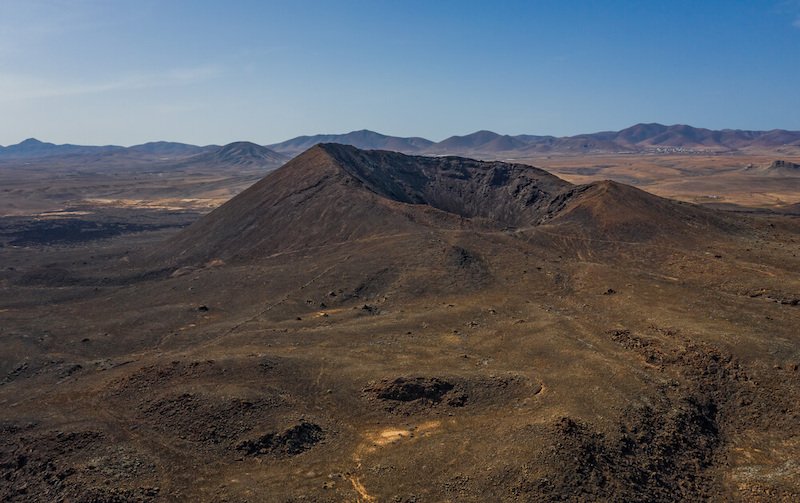
This Caldera de Arrabales guided tour is the perfect way to combine a hike through the beautiful volcanic landscape with a visit to a traditional farm, complete with tasting local products!
The hiking and tasting activity is located just south of Puerto del Rosario and lasts roughly 6 hours.
You’ll begin by exploring the gorgeous volcanic landscape surrounding the Caldera de Arrabales, located in a protected area of Fuerteventura.
Be aware that the hike is moderately challenging, with portions of gravel and volcanic stones, so be sure to wear proper hiking shoes or you’re in for a tough hike.
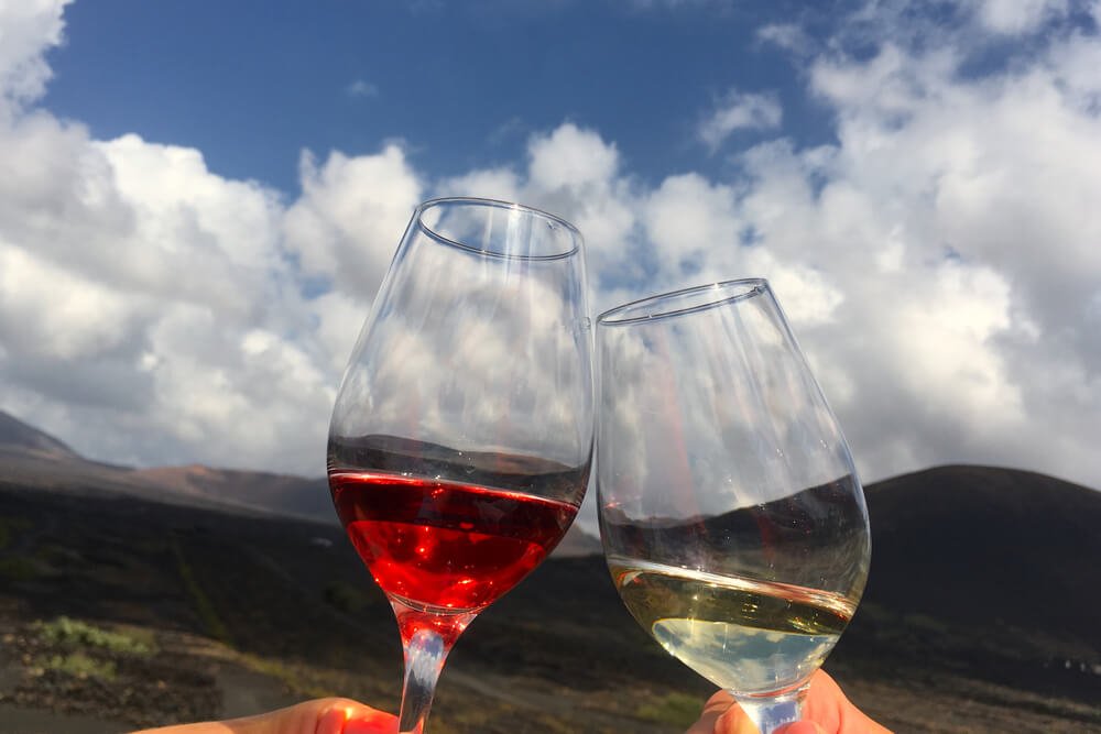
After exploring and learning all about the volcano on the 5-kilometer loop trail, you’ll visit a local farm where you can try typical products, including goat cheese, wine, and aloe vera products.
The tour includes nearly everything, from hotel pick-up and drop-off to a hiking guide, insurance, and product tasting.
Just be sure to bring some water for the hikes and extra snacks if you think you’ll need them!
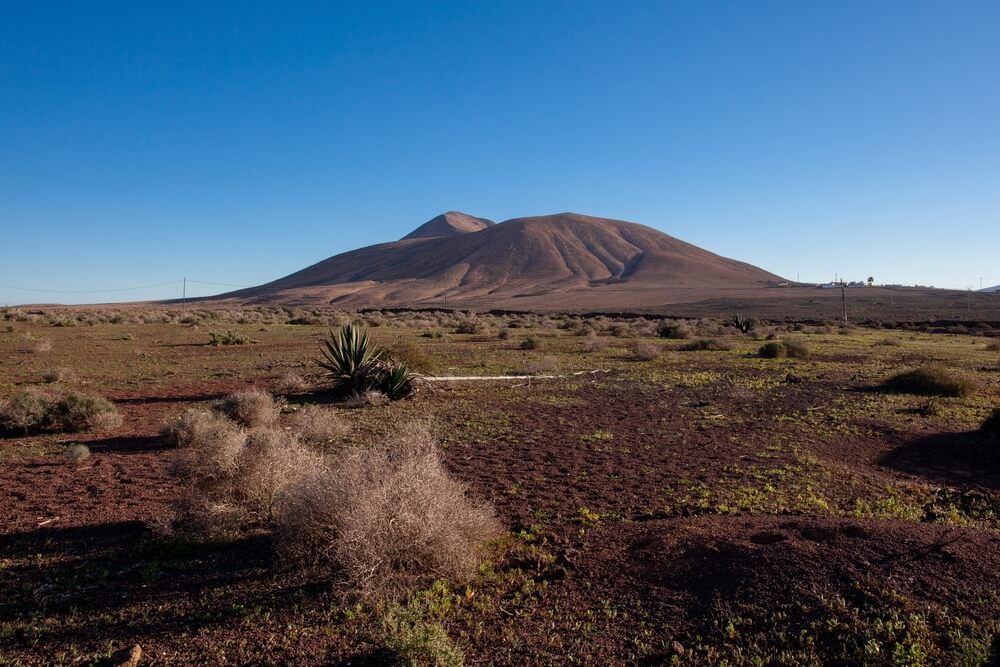
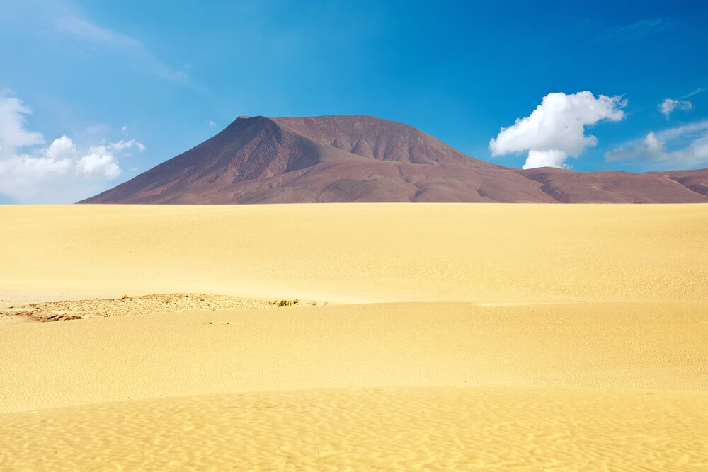
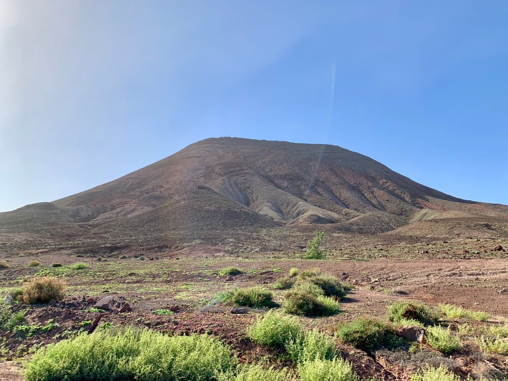
Montaña Escanfraga Volcano Summit Hike – Book Here
This hike to the one of the highest volcanoes in Fuerteventura is an absolute must for all hiking enthusiasts!
Montaña Escanfraga is a volcanic cone just outside the town of Villaverde, in northern Fuerteventura.
As mentioned earlier, Fuerteventura doesn’t have many areas with high peaks for those looking for challenging routes — at 529 meters or 1,735 feet, this is one of few exceptions!
Aside from Montaña Escanfraga, there is only one other area with higher elevations, Pico de la Zarza in the south.
So you shouldn’t miss the chance to hike to one of the highest points on the island if you’re the fan of a heart-pounding hike!
This moderately challenging hike lasts roughly five hours. You’ll walk on paths known as “camel routes” to reach the summit of Montaña Escanfraga and check out the spectacular view.
Along the way, your guide will tell you about the history and geography of the volcano.
This guided hiking tour includes hotel pick-up and drop-off from several locations in Fuerteventura so it’s great if you’re not renting a car during your stay.
Best Independent Day Hikes in Fuerteventura
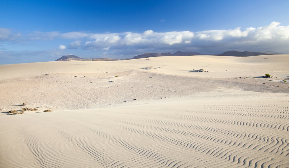
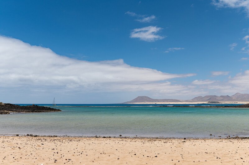
Dunas de Corralejo
- Difficulty: Moderate
- Distance: 12.2 km (7.6 miles)
- Time to Complete: 3-4 hours
- Type: Loop
While this isn’t really a hike, properly speaking, it’s one of the must-see places in Fuerteventura!
The Corralejo Nature Reserve is an extensive dune field just south of Corralejo that will make you feel like you’re in the desert… because you kind of are!
This trail starts next to the Corralejo harbor, so the first part of it runs through town.
You can easily change things up a bit and drive or take a bus to the south of Corralejo and save about 45 minutes each way, which will allow you to spend more time exploring the dunes.
The best things about this trail are its accessibility and the possibility for flexible planning.
The dunes begin just outside Corralejo, making it easy to explore even if you don’t have a car during your stay (though having a far makes a Fuerteventura road trip and hiking trip a lot more fun!)
Furthermore, while you’ll have a great time just following the recommended trail, you can choose whether to walk along the coast, inland, or a combination of the two.
As in any desert-like area, you won’t find any shade around the Corralejo Nature Preserve. Be sure to wear sunscreen and bring layers, as it can get very windy.
Also, don’t forget to pack some snacks and water — there’s really nothing around here!
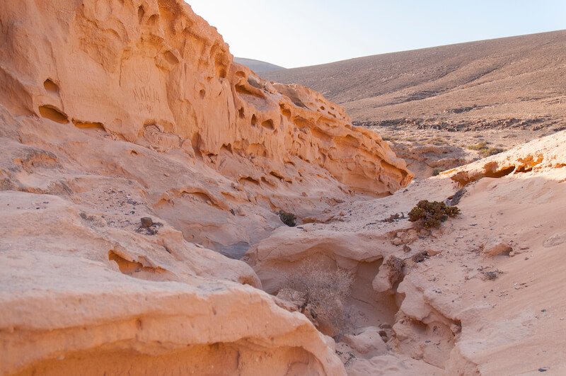
El Barranco de los Enamorados
- Difficulty: Moderate
- Distance: 10.8 km (6.7 miles)
- Time to Complete: 2.5-3 hours
- Type: Out & Back
This moderately challenging hike close to the town of Lajares is among the most popular trails in Fuerteventura.
The name Barranco de los Enamorados is a pretty recent development, since now, many couples enjoy heading to this area to enjoy a romantic evening with a view.
The trail was originally known as Barranco de los Encantados, a name that comes from an atmospheric phenomenon known as Bayuyo that consists of the formation of small banks of fog.
The locals believed the fog was enchanted or magical in some way, containing the spirits of the ancestors.
It’s still enchanting for its narrow slot canyons and soft sandy pathways — they’ll make you feel transported to the desert landscapes of Utah’s national parks and winding narrow canyons.
There are a few ways to reach the area, as this trail starts outside Lajares.
If you don’t have a car, you can get to Lajares by bus line 8 from Corralejo or line 7 from Puerto del Rosario.
Admittedly, the first part of the hike can be a bit boring, but you’ll be rewarded with the sight of the beautiful canyon (Barranco) later on in the hike!
You can also start the trail near the roundabout just outside Lajares.
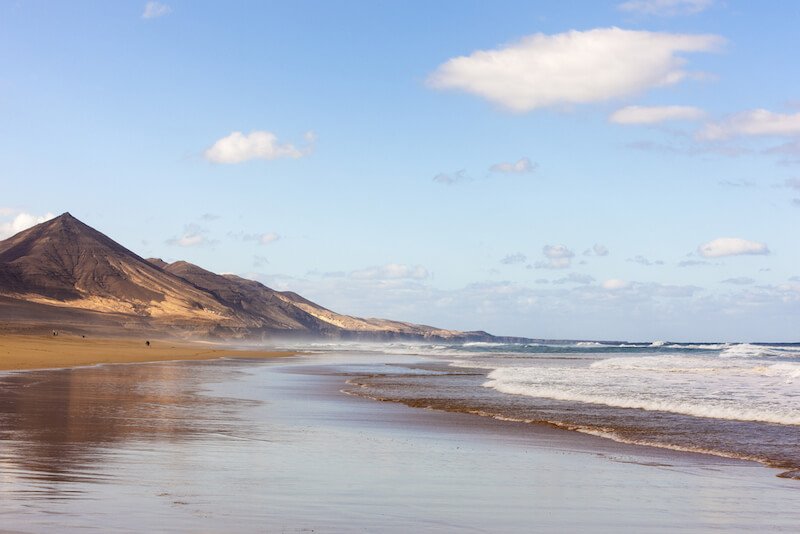
Gran Valle – Degollada del Cofete – Cofete
- Difficulty: Moderate
- Distance: 12.7 km (7.9 miles)
- Time to Complete: 4-5 hours
- Type: Out & Back
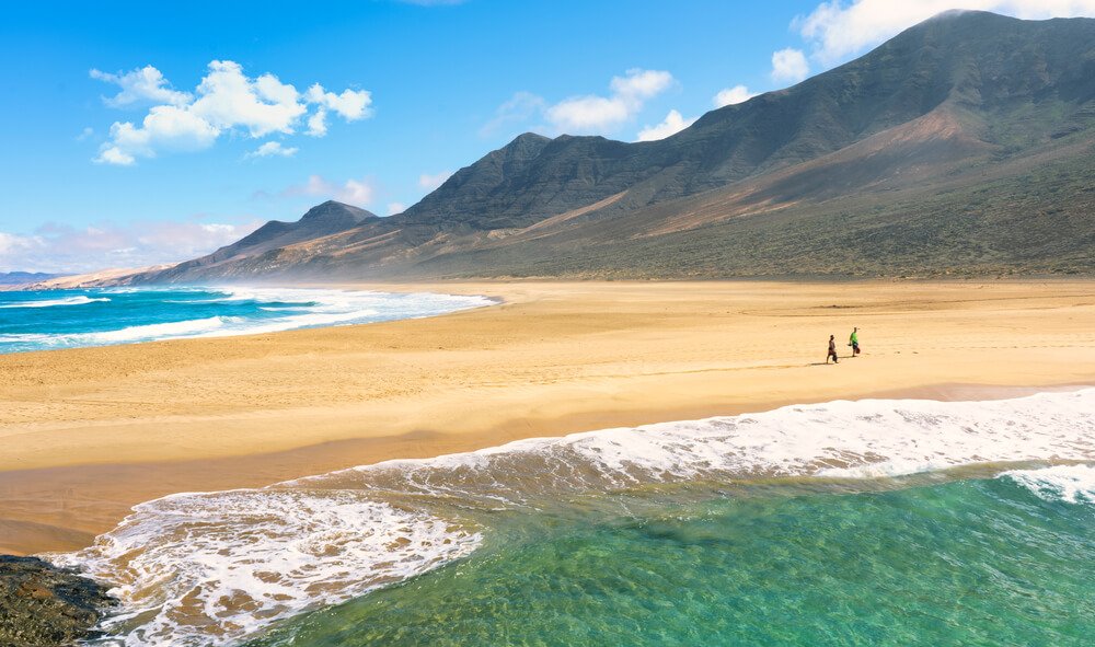
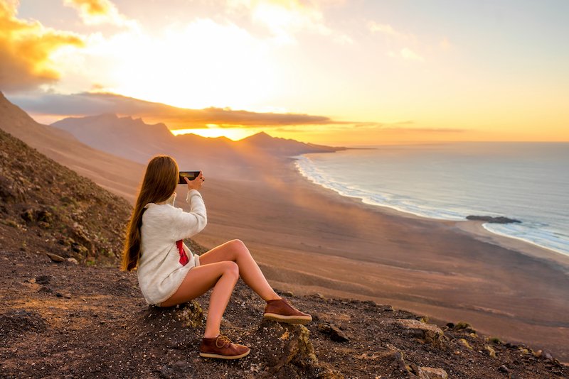
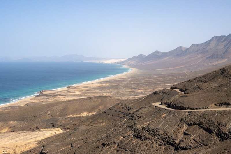
This out-and-back hike starts just outside Morro Jable, in southern Fuerteventura.
The downside? Nearly all public transportation stops in Morro Jable, making it hard to reach the start point for this hike.
To get to the trailhead, you’ll pretty much need a car unless you’re up for a one-hour walk along the main dirt road without much to see.
Plus, the single bus line to Cofete only runs a couple of times per day, meaning you’re at the mercy of a pretty limited schedule.
The hike isn’t too difficult but has a moderately challenging ascent right at the start.
But when you reach Cofete, you can enjoy a beautiful view of the northern coast!
Here, you can also stop at the only restaurant in the area, Restaurante Cofete Pepe El Faro.
Given the length of the hike, starting early in the day is ideal to avoid the heat.
As always, bring water, sunscreen, and a jacket in case it gets too windy on the higher points.
Bring some food as well unless you plan on stopping for lunch at the restaurant.
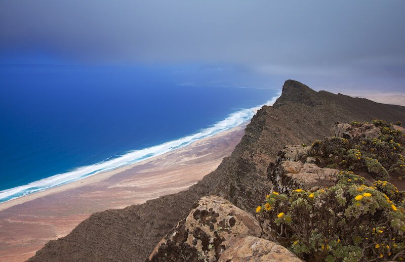
Morro Jable – Pico de la Zarza
- Difficulty: Hard
- Distance: 12.6 km (7.8 miles)
- Time to Complete: 4-6 hours
- Type: Out & Back
If you’re up for a challenging hike with a lot of elevation, Pico de la Zarza is the spot for you.
This is the highest point on the island at roughly 800 meters (2,625 feet), offering stunning sweeping views of the Natural Park of Jandia.
The trail begins in Piedras Caídas, just north of Morro Jable. You can expect a slow but steady (and steep!) ascent until you reach the summit.
The trail isn’t too technical, but the lack of shade and constant ascent can be challenging for some. The view at the top will pay off your efforts and sweat!
As is the case for most trails on the island, you should prepare by bringing sufficient water and wearing sunscreen.
You won’t find anything along the way, so some snacks are also a good idea.
Aim to start early in the morning to avoid the scorching midday sun.
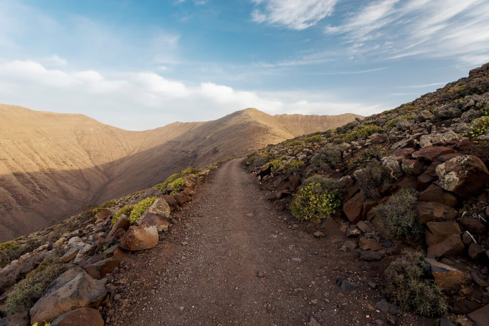
Betancuria – Moro de Tegtuno – El Pinar
- Difficulty: Moderate
- Distance: 12.4 km (7.7 miles)
- Time to Complete: 4-5 hours
- Type: Loop
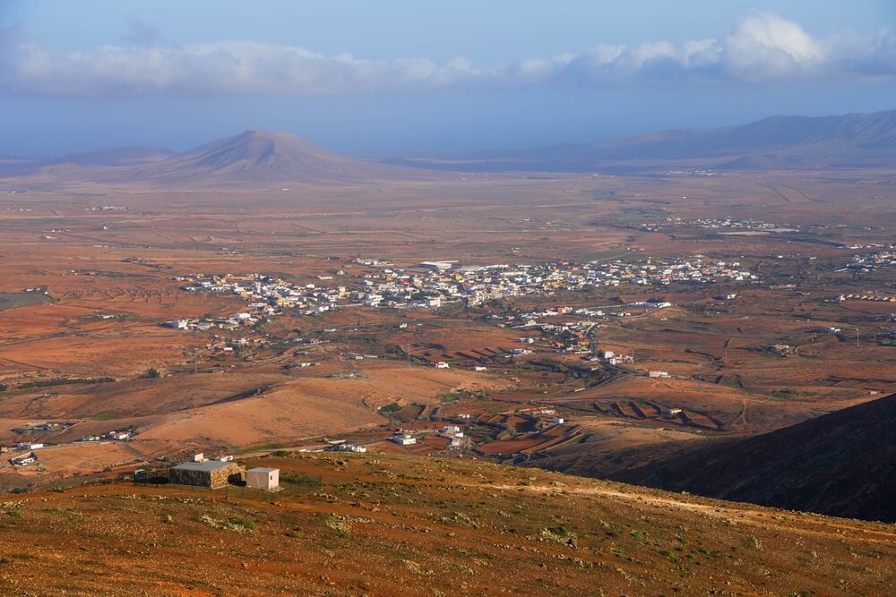
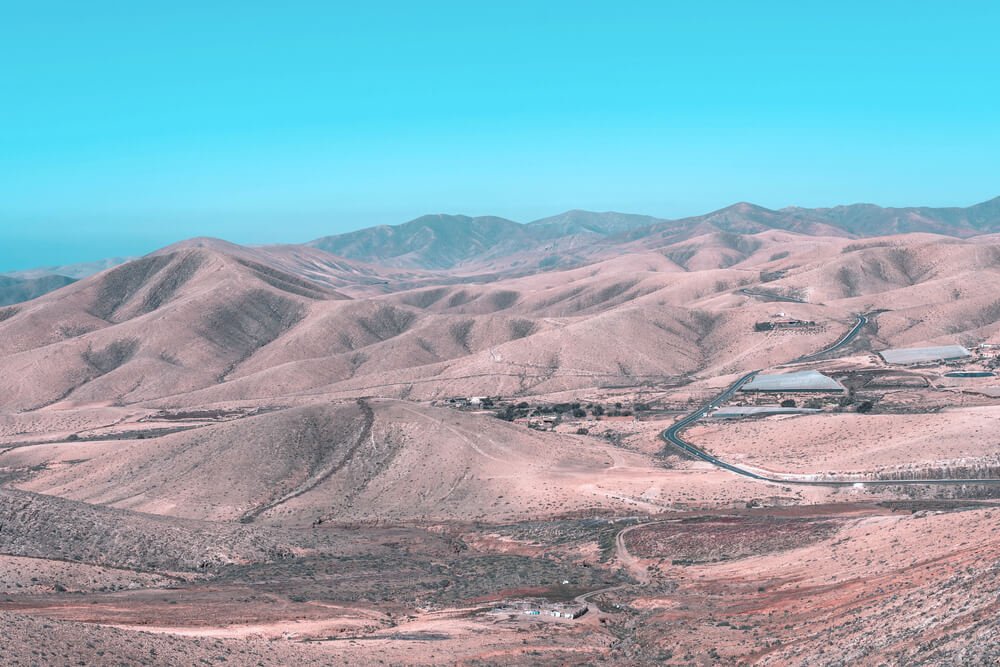
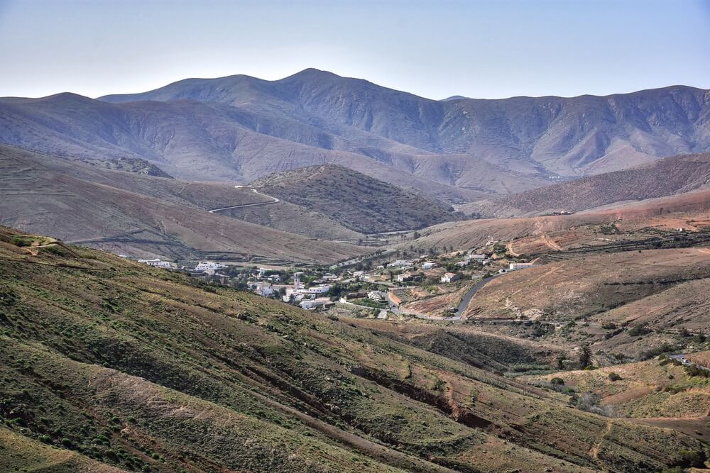
If you ask me, the landscape around Betancuria has to be among the most beautiful on the island!
Think small hills and valleys with occasional villages made of whitewashed houses standing out in the reddish terrain — it’s what postcards are made out of.
Honestly, if you were to dedicate just one day to hiking in Fuerteventura, I’d have to recommend this area.
This loop trail starting in Betancuria is suitable for most people. You can expect some ups and downs but no major elevation gains.
You can pair this hike with a visit to the lovely Betancuria, Fuerteventura’s former capital city.
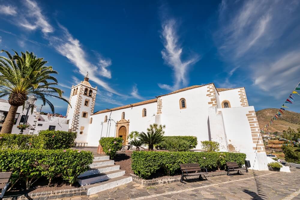
Here, you can enjoy a delicious lunch at a traditional Canarian restaurant and explore the charming town.
If you’re traveling by car, you could also do the hike to Arco de las Peñitas (next on the list) on the same day.
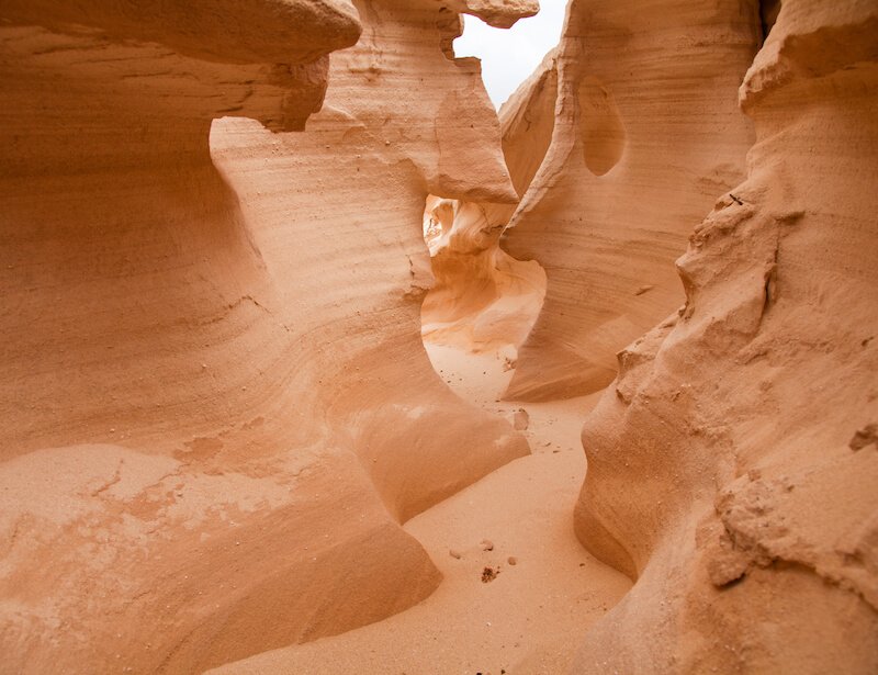
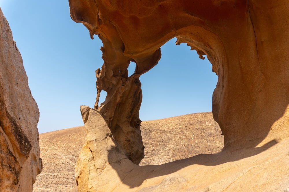
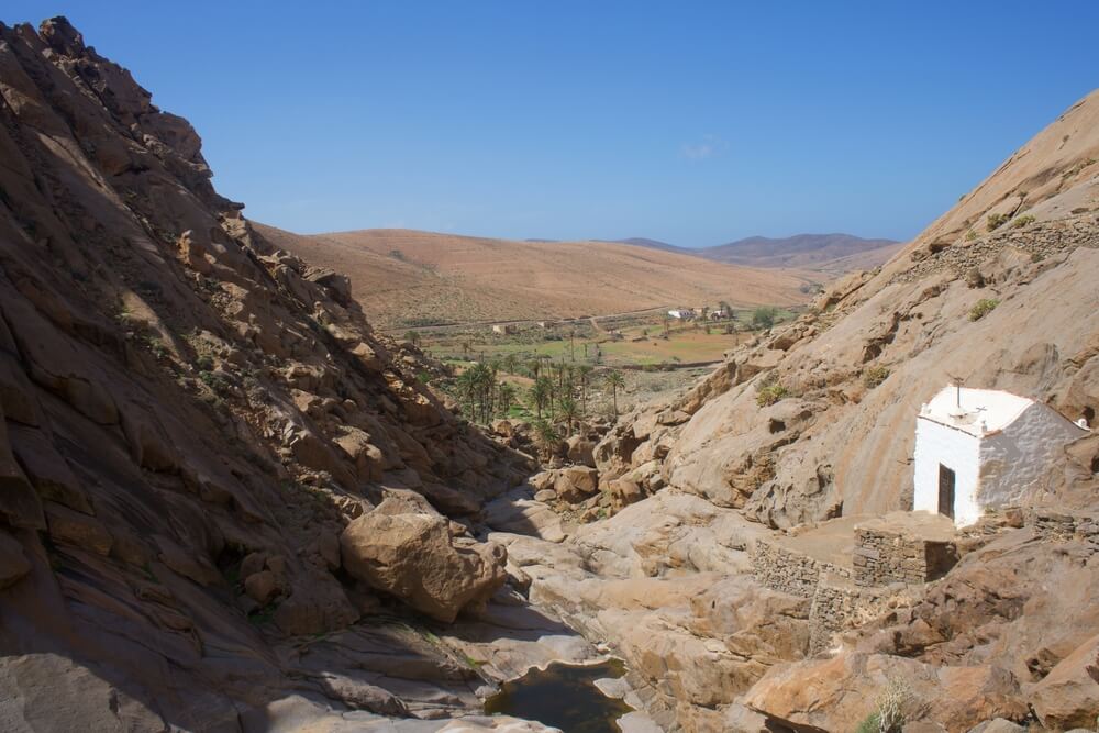
Arco de las Peñitas – Presa de las Peñitas
- Difficulty: Moderate
- Distance: 4 km (2.5 miles)
- Time to Complete: 1-2 hours
- Type: Loop
Arco de las Peñitas is one of my favorite spots in Fuerteventura, but reaching this stunning rock formation isn’t exactly a walk in the park.
The trail itself isn’t too difficult… that is, until you realize that you’re right under the arch and need to figure out how to go up!
Unfortunately, there’s no real trail for this part of the hike, but trust me, you can make it!
The stone arch is located at the top of the mountain, and the last portion of the trail includes some actual rock scrambling.
This hike, though short, may not be for everyone.
If you are moderately fit, you can handle it. Given the poorly marked trail, you may need to follow the existing footsteps to find your way up.
Despite the area not being overly crowded, you’re likely to find other people going up or down that can help point you in the right direction.
And trust me – once you make it up, you won’t be disappointed by the view.
The starting point for this hike on AllTrails is only reachable by car, and it’s the shortest distance you can manage.
However, you may also start in Vega de Rio Palmas or Betancuria, both connected to Puerto del Rosario by bus line 2, but that’ll make the hike longer.
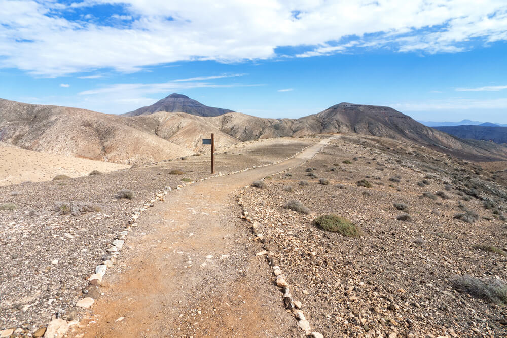
Tindaya – Vallebrón – Tefía
- Difficulty: Hard
- Distance: 17.1 km (10.6 miles)
- Time to Complete: 4-6 hours
- Type: Loop
The area surrounding Tindaya is another beautiful and remote part of Fuerteventura with stunning landscapes.
The hike is quite long, which may be why AllTrails marks it as hard, but the trail isn’t too technical.
The most challenging part is the ascent roughly halfway through, but your efforts will be rewarded with stunning views of the surrounding valley.
Vallebrón is a stunning protected area and includes some of the highest peaks in Fuerteventura, perfect for gorgeous views.
This hike is accessible to everyone, even if you don’t plan on renting a car. You can reach Tindaya by line 7 from Puerto del Rosario.
As I always advise — be sure to wear sunscreen, and pack plenty of food and water for this hike!
Sendero Bayuyo
- Difficulty: Moderate
- Distance: 8 km (5 miles)
- Time to Complete: 2-2.5 hours
- Type: Loop
The gorgeous Sendero Bayuyo is a short and moderate loop trail just outside Corralejo.
It’s perfect if you want to enjoy the volcanic landscape of Fuerteventura, but you don’t have a lot of time to spare so you need to make it a quicker one.
The trail takes its name from the iconic Bayuyo Volcano in northern Fuerteventura.
The trail passes through several calderas (volcanic depressions), including Caldera Rebanada, Caldera Encantada, and Calderon Hondo to name just a few.
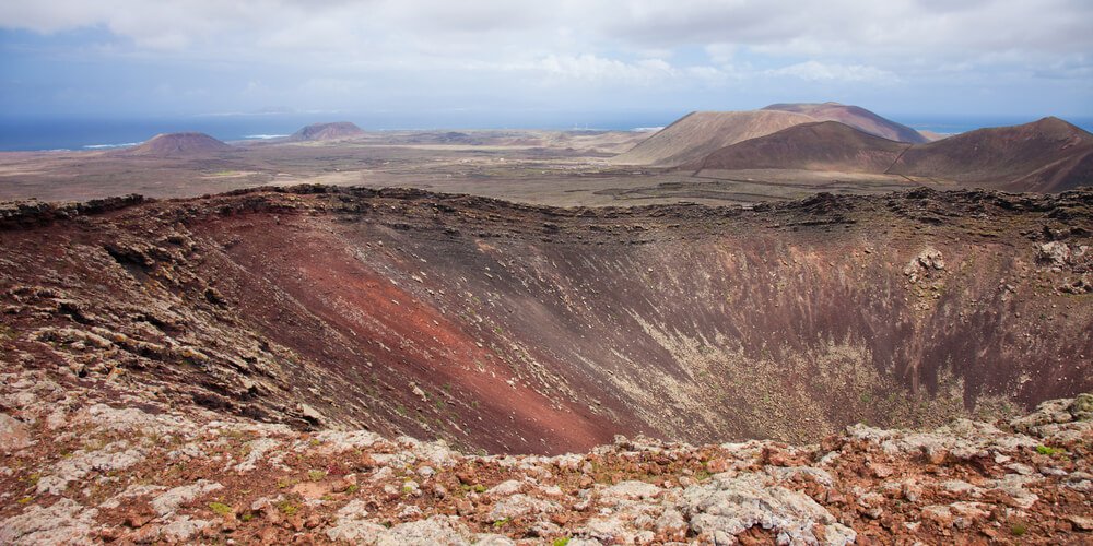
At the highest parts of the hike, you can admire a beautiful view of Fuerteventura’s coast and even Isla de Lobos off in the distance.
Be aware that this is among the most popular trails in Fuerteventura, given its vicinity to the town of Corralejo — so you definitely won’t be alone.
The hike is accessible even for those who aren’t renting a car in Fuerteventura, which makes it even more popular.
You can reach the trailhead by bus from Corralejo. Most buses going south will stop at Tamaragua.
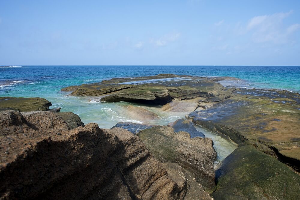
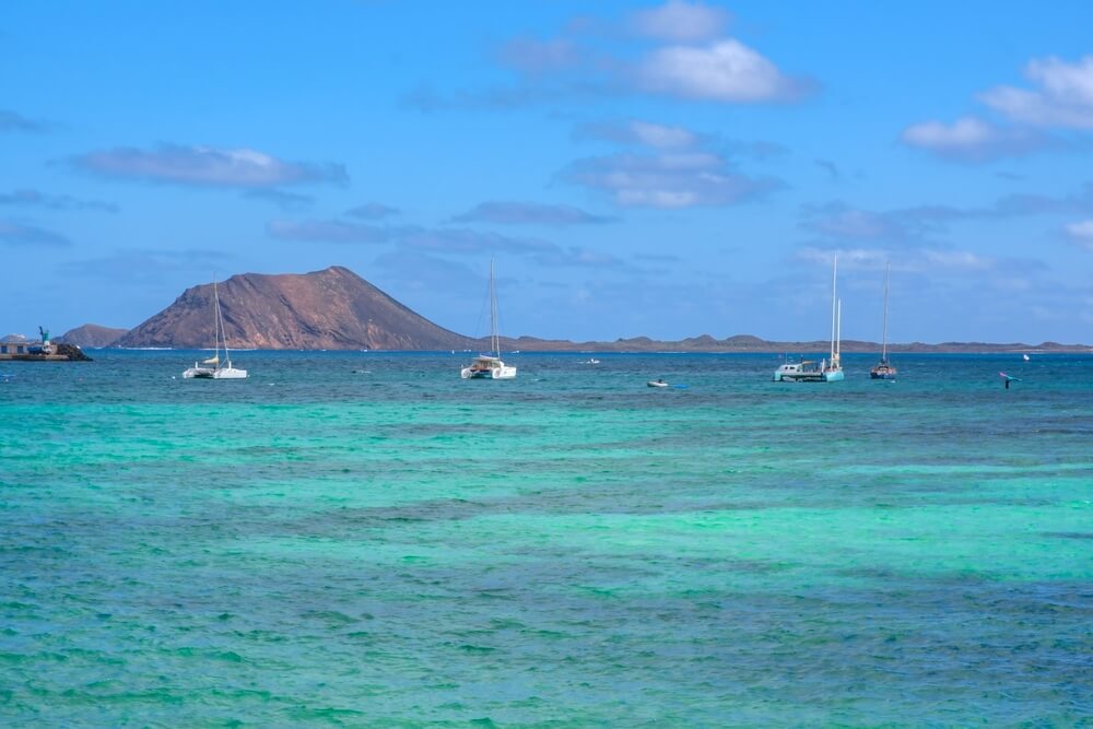
Bonus: Isla de Lobos
- Difficulty: Moderate
- Distance: 10 km (6.2 miles)
- Time to Complete: 2-3 hours
- Type: Loop
One last hiking trail worth considering when visiting Fuerteventura is on Isla de Lobos, which technically isn’t on Fuerteventura but is awfully close!
The small island of Lobos is just off the northern coast of Fuerteventura, facing the town of Corralejo on the other side of the water.
Ferries to the island depart regularly from the Corralejo harbor so it’s easy to come here on a day trip — no major effort required.
This 10-kilometer trail allows you to circle the entire island, passing by several attractions and gorgeous sandy beaches like Faro de Punta Martiño, Las Lagunitas, Playa de la Concha, and Montaña de La Caldera.
You can complete the hike in under three hours without stops, but you can also spend some time on one of the beaches and go for a swim.
Pack a picnic lunch to eat on the beach — it’s the best way to enjoy this trail!
If you don’t want to do a picnic, you’ll have to grab lunch at the only restaurant on the island, so make a reservation as soon as you arrive.
Luckily, Chiringuito Lobos Antoñito El Farero is close to the port, so it’s easy to do so and then swing back around after your hike, before you go back to Fuerteventura.

Roxana is a Romanian-born freelance travel writer who has lived in Italy for over 15 years. She has a Master’s in Journalism and a Bachelor’s in Film Studies, and she studied at Università degli Studi di Roma Tre. Besides her native Romania, Roxana has lived in Rome, Lisbon, and Berlin, and she has traveled through much of Europe in search of hidden gems, history, and culture.