Lanzarote Itinerary: How to Plan a 3 or 4 Day Lanzarote Road Trip
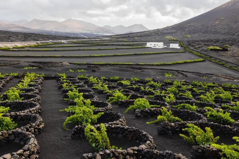
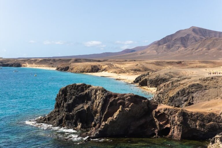
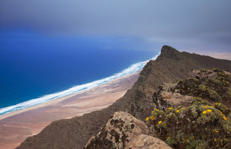
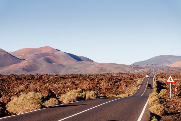
Out of all the Canary Islands, Lanzarote is probably the most unique and striking. This is due in part to its arid, volcanic landscape and in other part to the impressive work of artist César Manrique, who designed several magnificent works aimed at creating harmony between nature, architecture, and art. I spent over three months…